AI-generated narration of the LinkLens-written story only.
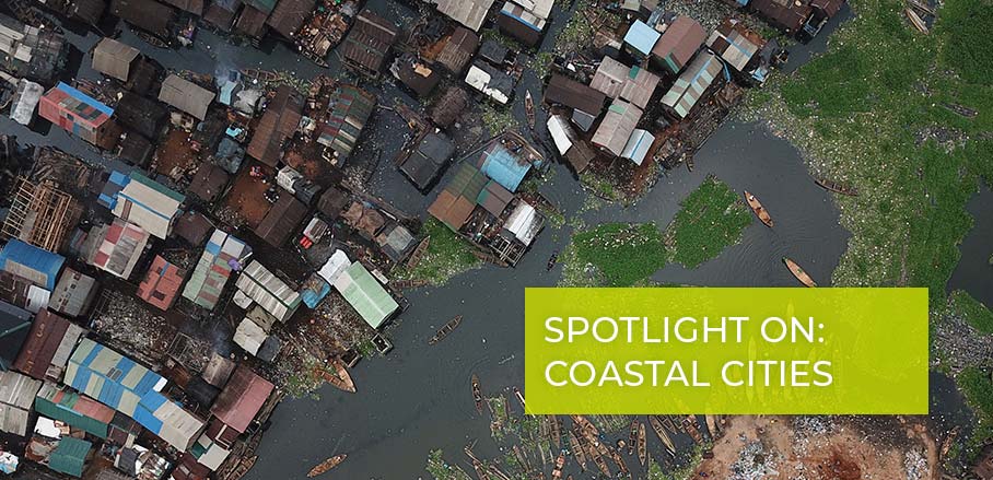
Part of Makoko stands on stilts in a Lagos lagoon, and its residents helped put the waterfront community on a digital map. According to Urbanet, Code for Africa worked with local people to build an open-source map using drones, smartphones, and crowdsourced information. Rather than simply drawing the settlement from afar, the project involved people who know it firsthand.
That matters because a map can make homes and routes easier for others to see and discuss. Urbanet describes the project as a way for residents to assert their community’s right to exist. It also reports that Code for Africa contacted the Nigerian Red Cross to explore using the map, but does not say whether the organisation did so. As Makoko changes, who keeps the map current, and how are residents involved in those updates?
AI-assisted discovery based on publicly available sources. Explore the original articles to learn more.
There is more web out there.
This discovery is worth exploring on its own. Browse another subject or let LinkLens choose your next stop.
Questions worth exploring next
The Explorer periodically checks related public sources. Research questions remain open; a connected discovery does not prove an answer.
- How were Makoko residents involved in making the map? : Still exploring
- Has the Nigerian Red Cross used the map in its work? : Still exploring
- How is the map maintained? Ч : Still exploring
Sign in or register to comment. Everyone can explore.
No comments yet. Be the first to connect an idea.
Contribute to this Discovery
Have a correction, source, question, or personal experience? Contributions stay attached to this discovery, and are reviewed before appearing publicly. They never become standalone posts or verified facts automatically.
Sign in to contribute to this discovery.
Talk about this discovery
Share a thought in the comments or send a more detailed contribution for review.